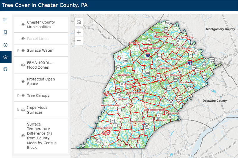
Woodlands and Tree Canopy Mapping
The Chester County Planning Commission developed an interactive map showing the county's tree canopy cover. Additional map layers, such as protected open space, flood zones, and impervious surfaces, can be turned off and on for more detailed analysis. This mapping can be useful in determining where gaps exist in tree coverage and where tree planting efforts could have the most impact. The Tree Cover map layer is a composite of forest, tree canopy over turf grass, and tree canopy over impervious surface as mapped in 2018 by the Chesapeake Conservancy, U.S. Geological Survey, and University of Vermont Spatial Analysis Lab. It is anticipated that the woodland cover data will be updated every four years.
The Planning Commission also maintains a wide array of Natural Resources related mapping and inventory information including the Chester County Natural Heritage Inventory.
View the Tree Cover in Chester County Map


